 (Click to enlarge)
Gilgal Gardens. Why yes, that is Joseph Smith's head on a sphinx.
 (Click to enlarge)
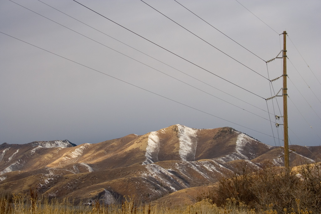
Near Mountain Dell Reservoir.
 (Click to enlarge)
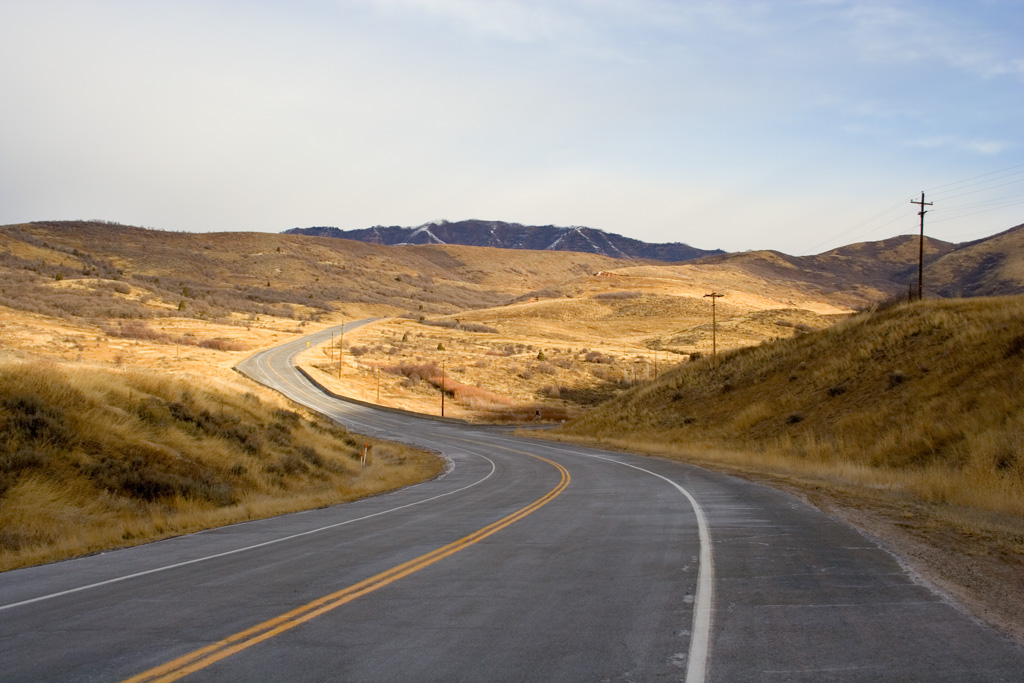
Pass from Parley's Canyon to Emigrant Canyon.
 (Click to enlarge)
Towards Emigrant Canyon.
 (Click to enlarge)
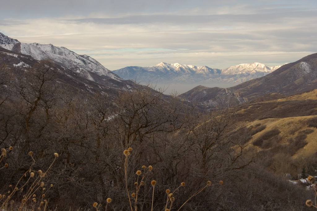
Emigrant Canyon. When Brigham Young led the first party of Mormon pioneers from Nauvoo, Illinois, west, this was the view he saw as he approached what would become their destination. Just a few miles later, he would see the basin, surrounded by mountains and the Great Salt Lake, and he would recognize that it matched the prophecy given to him by Joseph Smith, and he would declare, "This is the place." Today, at the end of the canyon is This Is The Place Park, marking that location.
 (Click to enlarge)
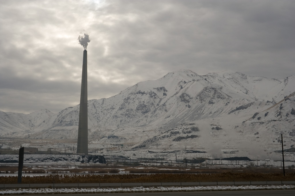
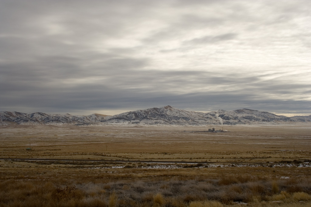
Kennecott Smokestack, the largest free-standing object west of the Mississippi River. Part of a copper smelting plant. Nearby, in the Oquirrh Mountains, is the enormous Bingham Canyon Open-Pit Copper Mine.
 (Click to enlarge)
Back of the Cedar Mountains, as seen from I-80. If in Salt Lake City you can sense the presence of God, in Tooele County, to the west, you can sense His absence.
 (Click to enlarge)
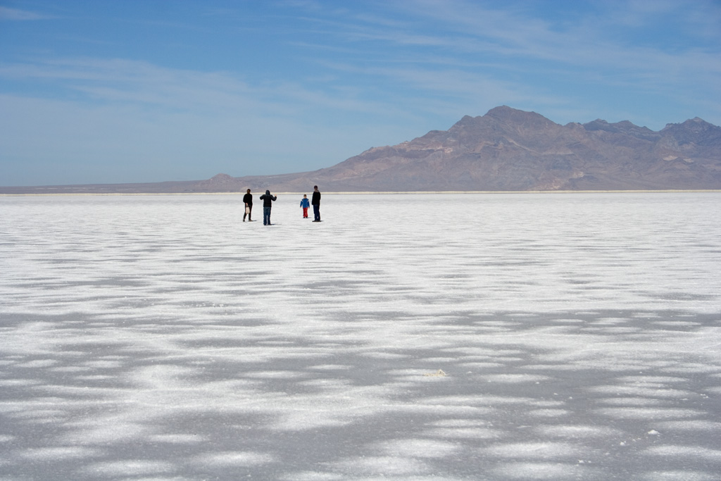
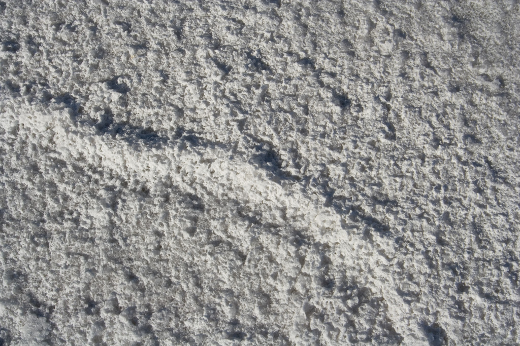
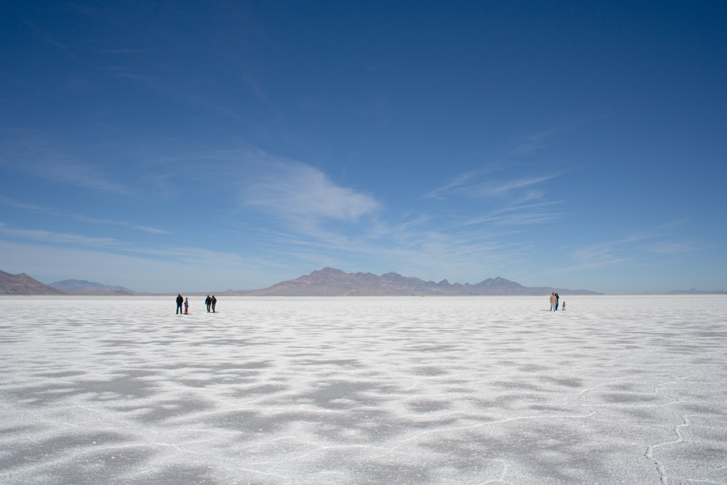
Bonneville Salt Flats.
 (Click to enlarge)
 (Click to enlarge)
 (Click to enlarge)
Approaching the Bonneville Salt Flats International Speedway.
 (Click to enlarge)
This is the Bonneville Salt Flats International Speedway.
 (Click to enlarge)
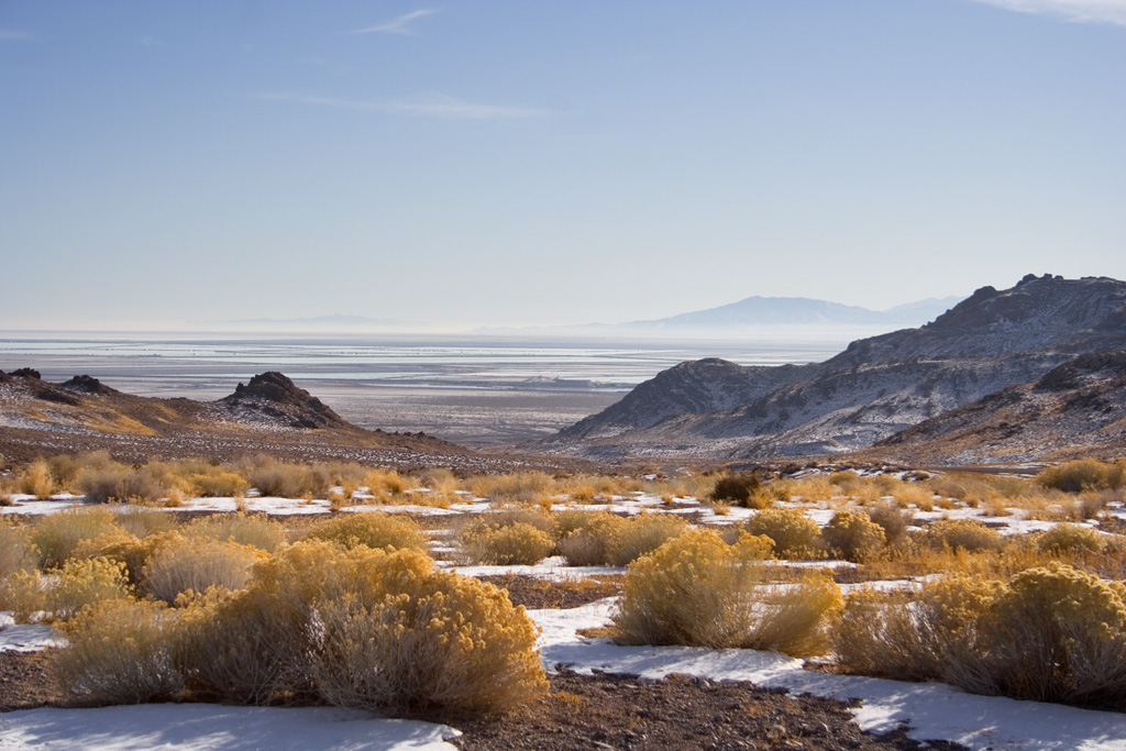
Silver Island Mountains, next to the salt flats. The flats are the remains of the large prehistoric Lake Bonneville. Look at the mountain on the right; you can see benching, indicating previous shorelines through history.
 (Click to enlarge)
Looking out from the Silver Island Mountains, towards the salt flats.
 (Click to enlarge)
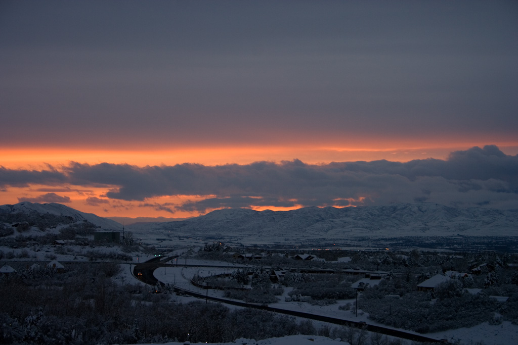
The view from Cottonwood Heights towards the Oquirrh Mountains, near Salt Lake City.
No comments:
Post a Comment